GIS / GPS Solutions
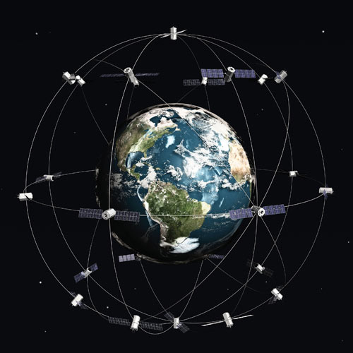
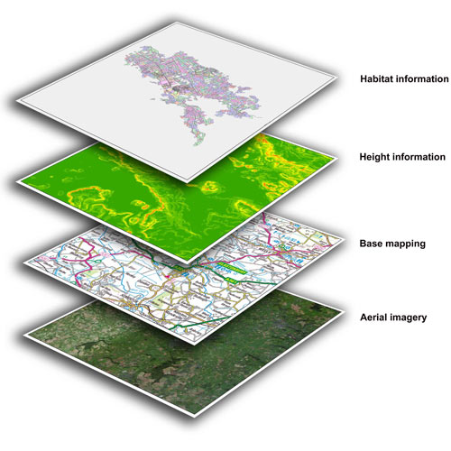
The power of a Geographic Information System originates from the capacity to relate distinctive data in a spatial connection and to achieve a decision about this relationship. The greater part of the data we have about our reality contains an area reference, setting that data at some point on the globe. Utilizing spatial databases, diverse layers of GIS information can be investigated at a level of many-sided quality that would be unthinkable with individual paper maps.
GPS / GIS Services
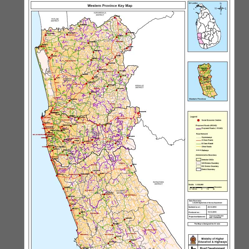
iRoad - RDA Sri Lanka
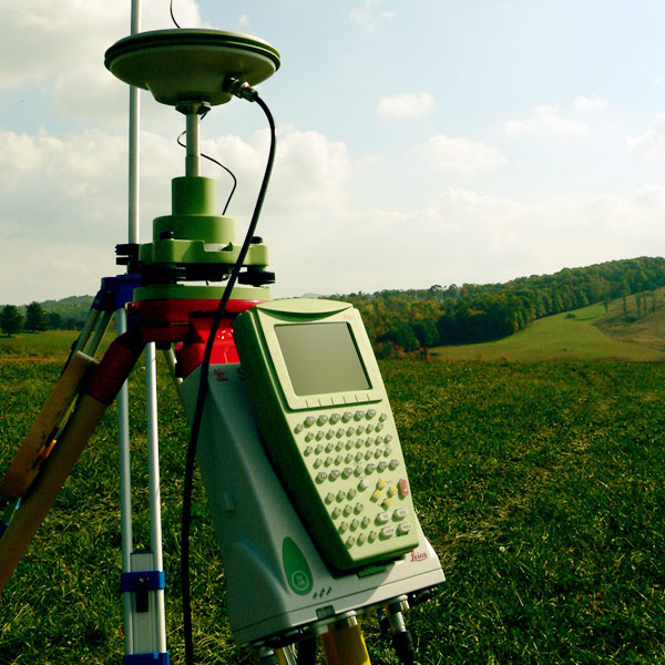
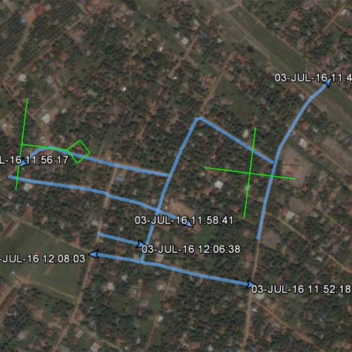
GPS survey and GIS mapping / geo database creation for iRoad project - RDA Sri Lanka. 2016-2017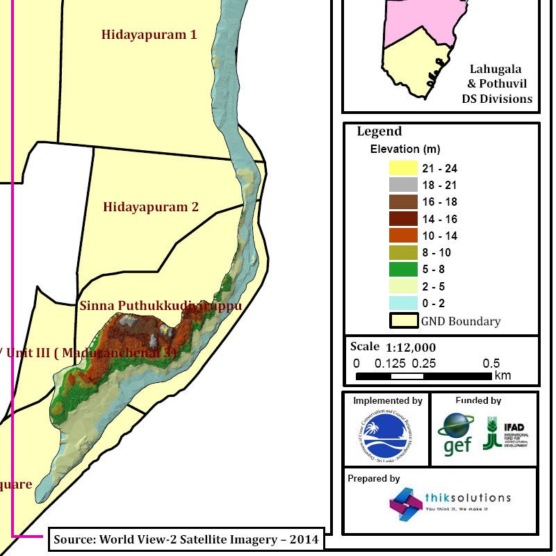
Eastern Province - Sand Dune Survey
Project for Coastal Conservation Department - Sri Lanka. 2015-2016 See More WorksHow it works